How the American Landscape Has Changed Since 1959
Cropland declined, cities expanded and grazed forests changed dramatically. Here's what happened to America's landscape since 1959.
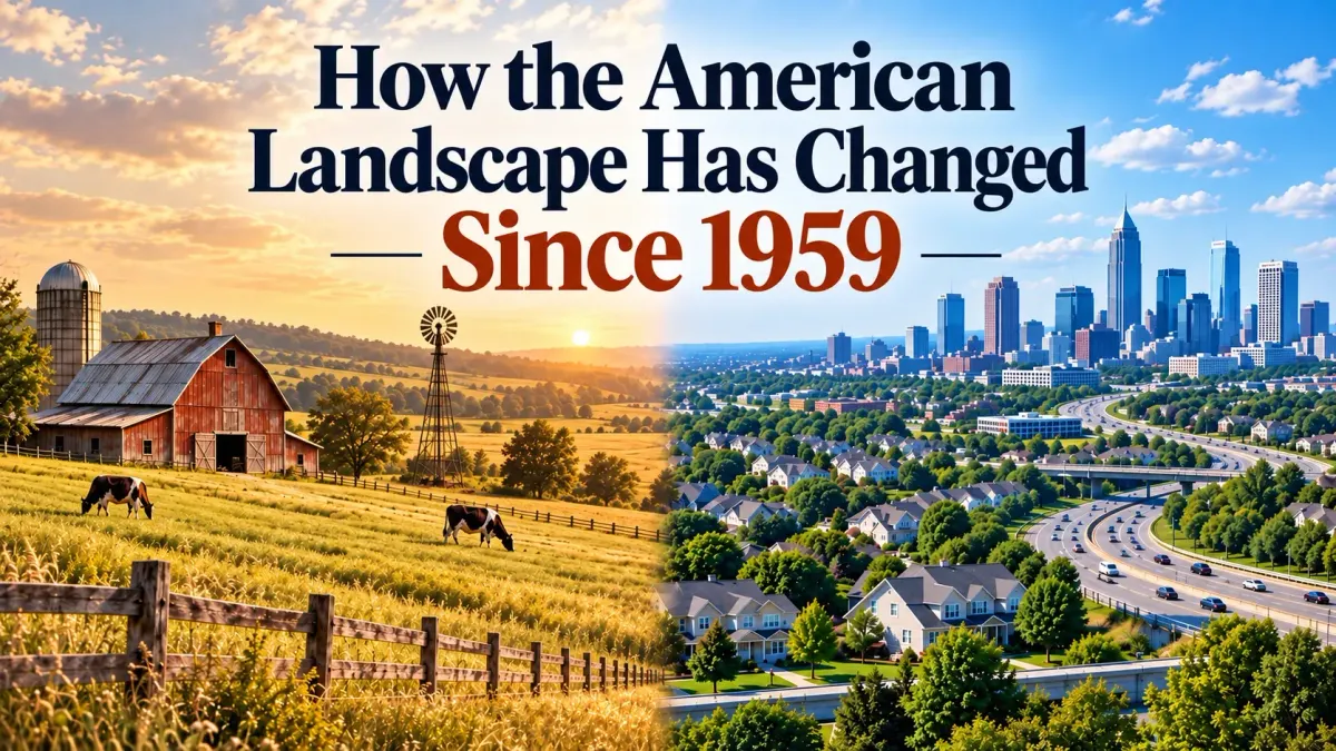
America still looks remarkably rural from above, but more than six decades of agriculture, development, conservation and changing land use have quietly reshaped the country.
Picture the United States from above in 1959.
Dwight Eisenhower was president. America’s new Interstate Highway System was only a few years old, suburbs were rapidly spreading beyond the edges of major cities, commercial aviation was entering the jet age, and much of what would eventually become modern metropolitan America had yet to be built.
The country occupied roughly the same physical footprint it does today, but the way Americans used that land was noticeably different.
The U.S. Department of Agriculture’s Major Land Uses series provides one of the best ways to measure that transformation. The dataset tracks how the nation’s approximately 2.26 billion acres are divided among agriculture, forests, urban areas, parks and other uses.
Comparing 1959 with 2022 reveals a story that is much broader than simply saying America became more urban. Over those six decades, farming changed, cities expanded, some agricultural uses declined, conservation land increased and the overall relationship between Americans and the landscape gradually evolved.
Agriculture Once Occupied Nearly 60% of America
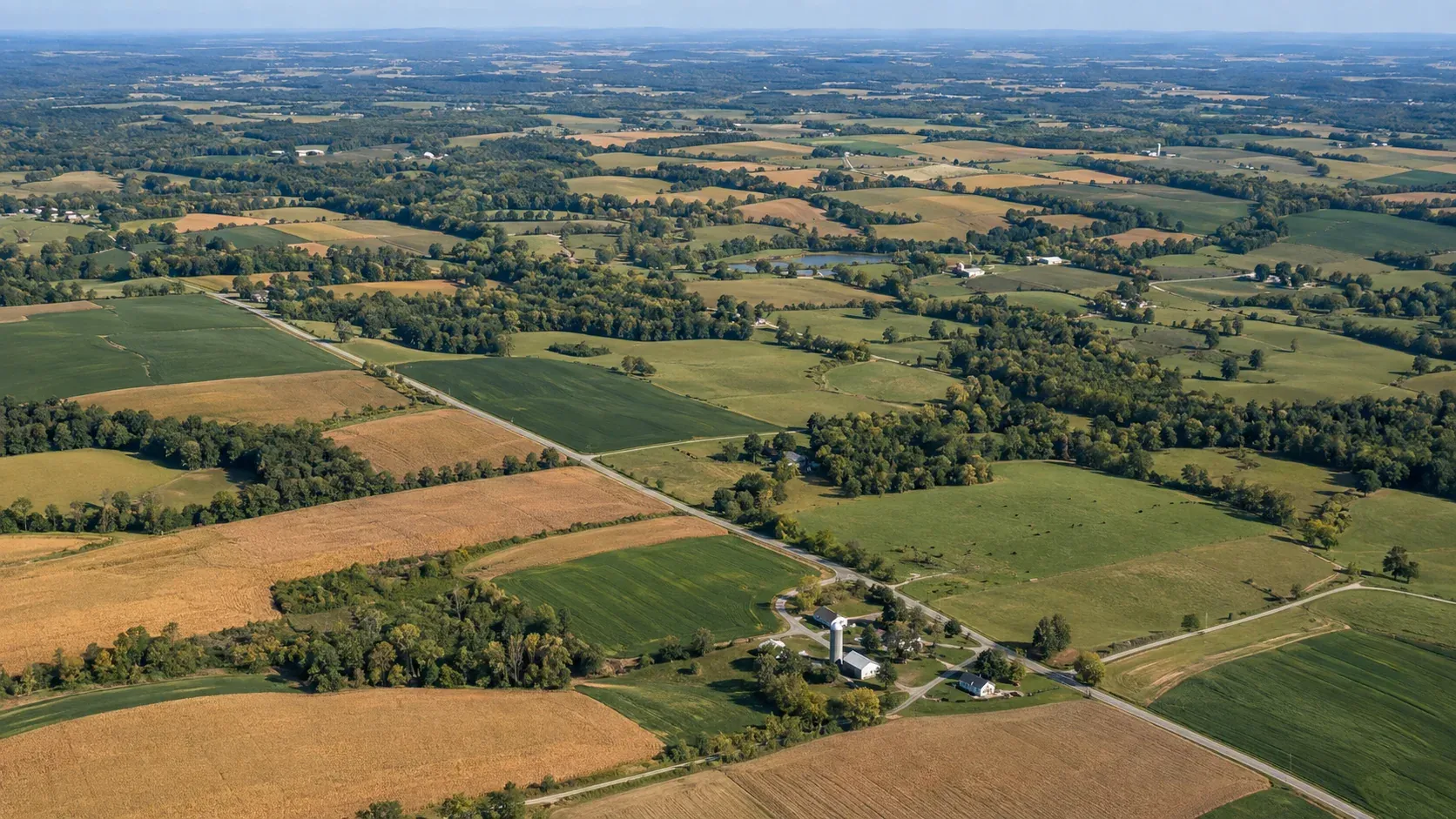
In 1959, agricultural uses accounted for roughly 59% of the nation’s land base. By 2022, that share had fallen to about 51%.
Agriculture therefore still occupies slightly more than half of all American land, but the makeup of that agricultural acreage has changed considerably.
Looking at the individual categories behind that total provides a much clearer picture of how the American landscape has evolved.
Cropland Has Slowly Retreated
In 2022, the United States contained approximately 377 million acres of cropland, about 18% less than in 1959.
What makes that decline especially notable is that agricultural production did not fall at anything close to the same rate. Instead, American farming became dramatically more productive over the same period.
Improved crop varieties, better insect and disease control, more effective fertilizers, increasingly sophisticated machinery and other technological advances allowed farmers to produce far more from the acreage they continued to cultivate.
The result is one of the quieter changes in the American landscape. The country can sustain extremely high levels of agricultural output while dedicating considerably less land to cropland than it did six decades ago.
America’s Great Grazing Lands Barely Shrunk at All
Cropland may have declined, but grassland pasture and range actually increased slightly.
USDA estimates that the United States contained approximately 653 million acres of grassland pasture and range in 2022, about 3% more than in 1959.
That helps explain why grazing land remains such an enormous part of the country. Large portions of the American West are far better suited to livestock grazing than to intensive row-crop farming, and open rangeland continues to dominate landscapes across states such as Texas, Montana, Wyoming, New Mexico and Nevada.
The relative stability of this category is also a reminder that cropland alone does not tell the full story of American agriculture. Hundreds of millions of agricultural acres are not planted in corn, wheat or soybeans. Much of the nation’s agricultural landscape remains open grassland used for livestock.
Grazed Forest Land Changed Dramatically
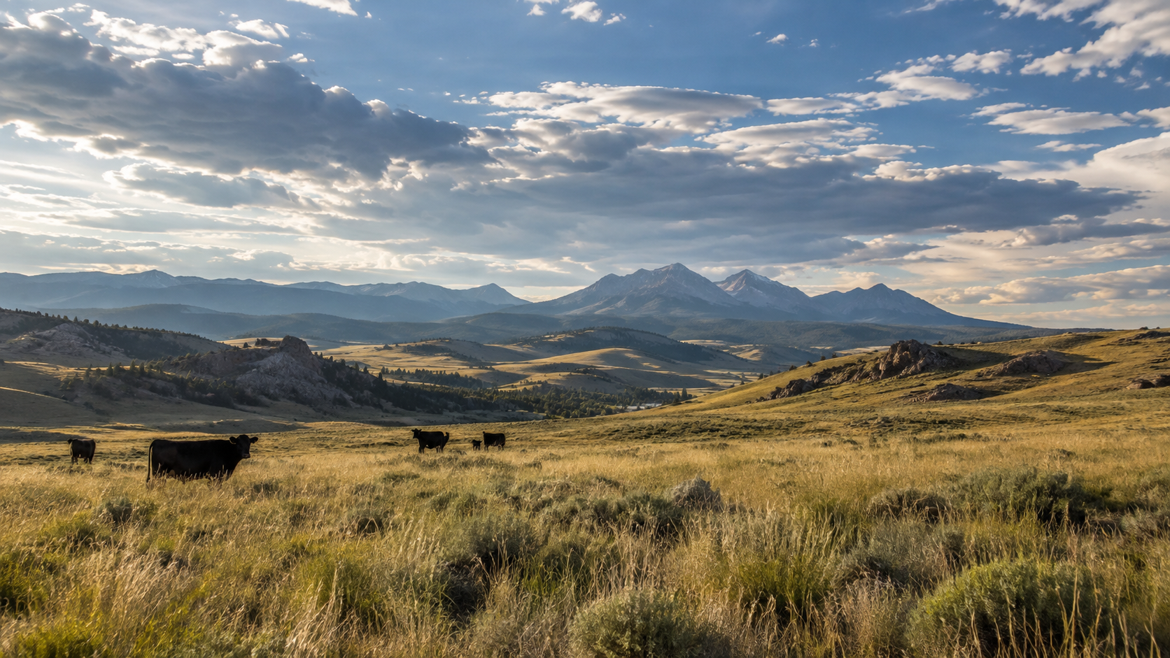
One of the biggest proportional shifts occurred in land where forestry and agriculture once overlapped.
USDA estimates that about 118 million acres of forest land were being grazed in 2022, approximately 52% less than in 1959.
Historically, wooded land was more commonly incorporated into livestock operations, particularly in areas where cattle or other animals could graze beneath tree cover. Over time, that practice declined substantially.
Forest land itself remains one of the dominant features of the American landscape, but a much smaller share of it is now categorized as agricultural grazing land. The change illustrates how land can remain physically similar from a distance while being used very differently than it was several generations ago.
Even Farmsteads Take Up Less Land
Another surprisingly large change occurred on the farms themselves.
USDA estimates that approximately 6 million acres were occupied by farmsteads and farm roads in 2022, roughly 49% less than in 1959.
That decline reflects several broader changes in American agriculture. Farms have consolidated, rural populations have shifted, and agricultural operations have become increasingly mechanized and efficient.
The traditional landscape of numerous small farms, each with its own farmhouse, barns, lanes and supporting infrastructure, has gradually been replaced in many regions by fewer and often much larger farming operations. The land is still being used for agriculture, but less acreage is required for the roads, buildings and farmsteads surrounding it.
Meanwhile, Urban America Spread Out
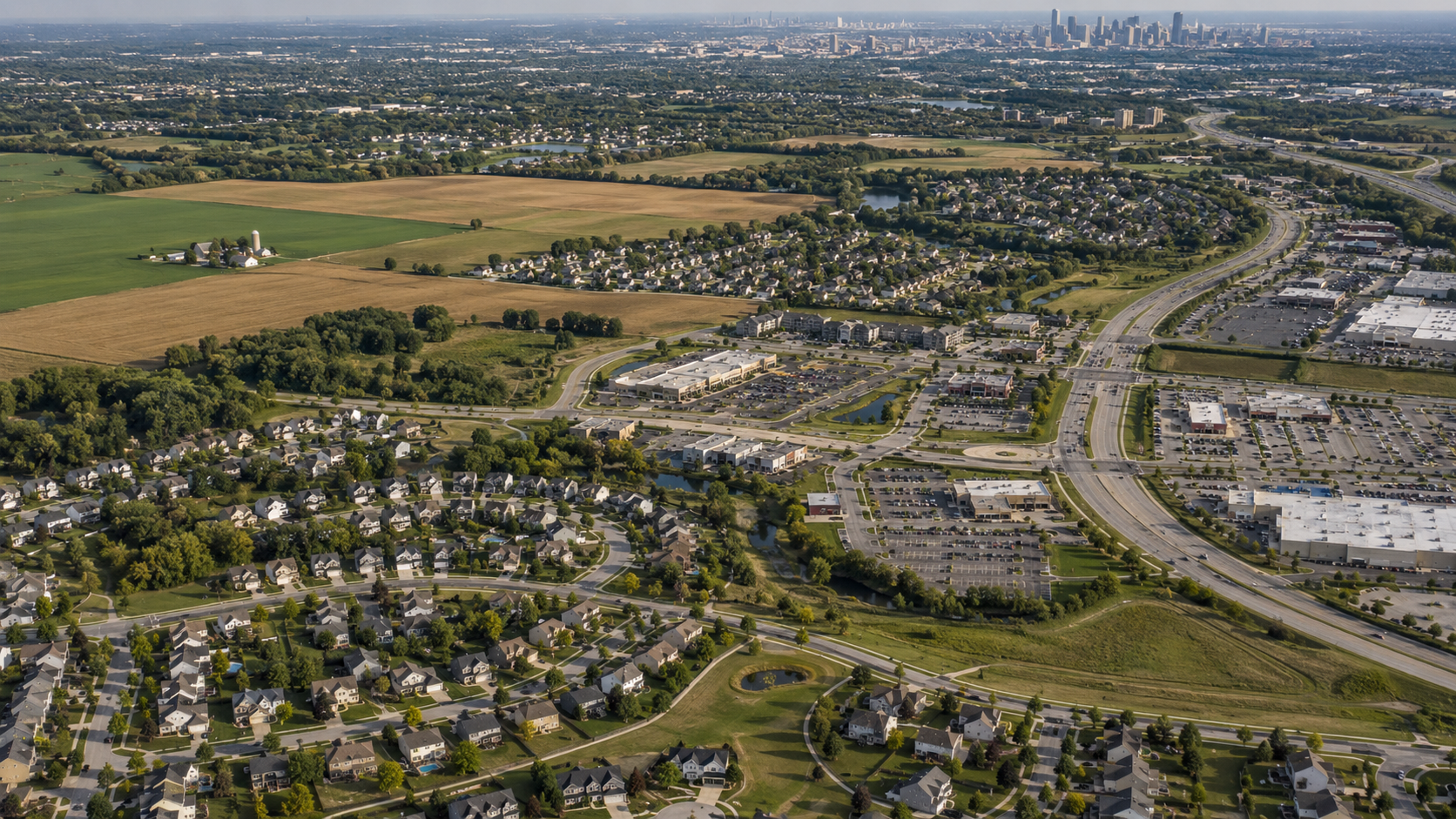
No category captures the visible transformation of postwar America quite like urban land.
USDA estimates that urban land reached approximately 66 million acres by 2022 and says the category has nearly tripled since 1959.
That expansion reflects more than six decades of suburbanization, highway construction, commercial development and metropolitan growth. As cities pushed outward, farmland at their edges became housing developments, shopping centers, office parks and industrial areas. Small towns were absorbed into larger suburban regions, while some suburbs gradually merged into vast metropolitan corridors.
Yet the scale of the United States produces an important perspective. Urban land expanded enormously without ever coming close to becoming the country’s dominant land use. Even today, cities occupy a relatively small portion of America’s total acreage.
There is also an important caution when interpreting the most recent numbers. The Census Bureau changed the technical definition of urban land for the 2020 Census, and USDA says that revision caused urban acreage to appear to decline from 2017 to 2022 in nearly every state. Much of that apparent drop reflects a classification change rather than a sudden reversal of development.
For long-term comparisons, the much broader expansion of urban land since 1959 remains the more meaningful story.
Parks and Protected Lands Became a Bigger Part of the Picture
The changing American landscape is not simply a story of farmland being converted into subdivisions.
Land classified by USDA as special uses has also increased substantially since the agency began tracking the series. That category includes rural parks and wildlife areas, transportation land, defense and industrial properties and several other specialized uses.
The expansion of state and national parks, wilderness areas and wildlife refuges therefore represents another important part of the postwar transformation.
Some American land became more intensively developed over the past six decades, but other areas moved in the opposite direction and received deliberate protection from future development.
The Country Changed Without Becoming Unrecognizable
Perhaps the most interesting lesson in the USDA data is the combination of enormous change and remarkable continuity.
America has added tens of millions of people since 1959. Metropolitan areas have expanded dramatically, the structure of farming has changed, agricultural productivity has soared and hundreds of millions of acres have shifted between different uses.
Yet the dominant features of the American landscape remain surprisingly familiar.
Grassland, forests and cropland are still the three largest land-use categories in the country, even as the balance among them and the ways they are managed have changed.
If someone from 1959 could fly across the United States today, the differences would be obvious. Cities would stretch much farther beyond their old boundaries, highways and development would cover more ground, individual farms might appear larger, and some agricultural fields would have disappeared entirely.
At the same time, enormous portions of the country would remain instantly recognizable. Forests would still cover vast regions. Open rangeland would still extend toward the horizon. Crops would still dominate large sections of the Midwest and Great Plains.
More than six decades have reshaped the American landscape in significant ways, but they have not completely replaced it. The country has become more developed, more productive and more specialized while remaining, at its core, a nation still defined by enormous stretches of forest, farmland and open range.
Source
USDA Economic Research Service, Major Land Uses, updated August 2026. The dataset provides state and regional land-use estimates dating to 1945, with the newest comprehensive estimates covering 2022. (View the USDA dataset)
Continue Reading
Recommended